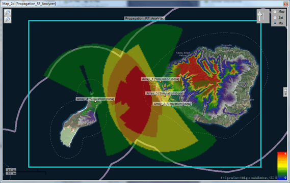
RFeye software includes a terrain analysis tool allowing you to easily optimize receiver placement by visualizing obstacles between candidate receiver and transmitter locations. This makes it a very useful tool in network planning.
The image below shows how several terrain analysis functions can be applied to a network at once in order to visualize elevation variations between two points.
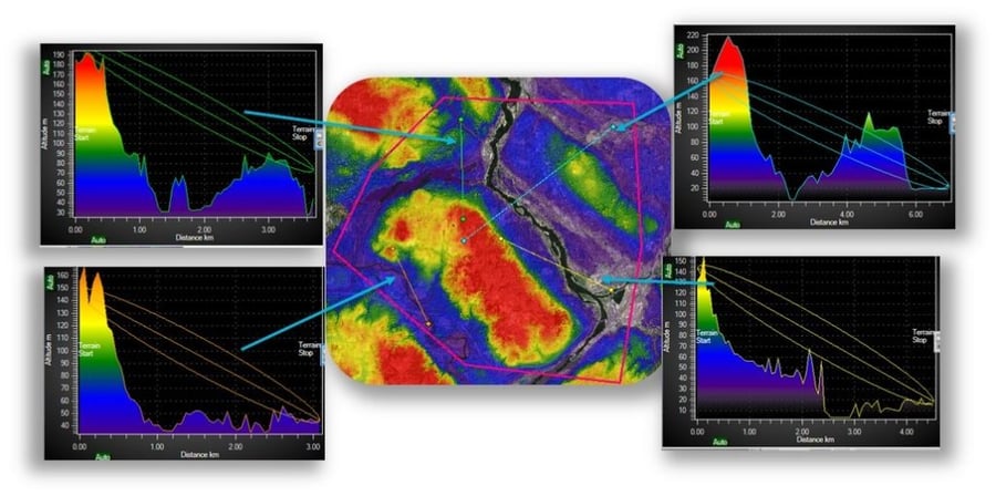
As we can see, the terrain analysis graphs go much further than simple Line Of Sight (LOS) considerations; diffraction effects are also taken into account with the 1st Fresnel zone overlay. This allows the user to easily determine the optimum receiver placement to maximize the proportion of the 1st Fresnel zone clear of obstacles – the commonly applied rule of thumb is to have at least 60% of the 1st Fresnel zone obstacle-free.
The video below shows how useful this tool is in network planning by showing how Direction Finding (DF) performance can be optimized by using terrain data to inform choice of receiver placement.
A more detailed video guide on setting up the terrain analysis tool can also be found below.
Contact CRFS for further details on the terrain analysis tool and simulation software.